What it does
A trip computer that remembers, on a map that explains.
The car already measures everything — speed, air flow, revs, fuel level. OBD Trip Map takes those numbers off the bus three times a second, ties them to GPS and shows where exactly the fuel went.
Starts and stops by itself
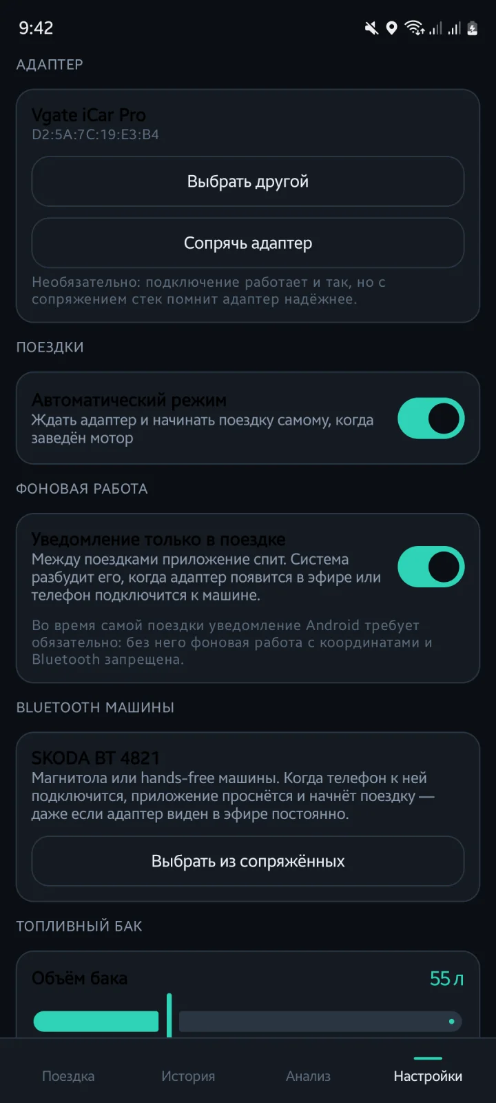
Plug the adapter in once. Between trips the app sleeps with no notification; Android wakes it when the adapter appears in the air or the phone connects to the car’s head unit. Engine running — the trip opens; three minutes of silence on the bus — it closes. Survives a reboot.
A live dashboard
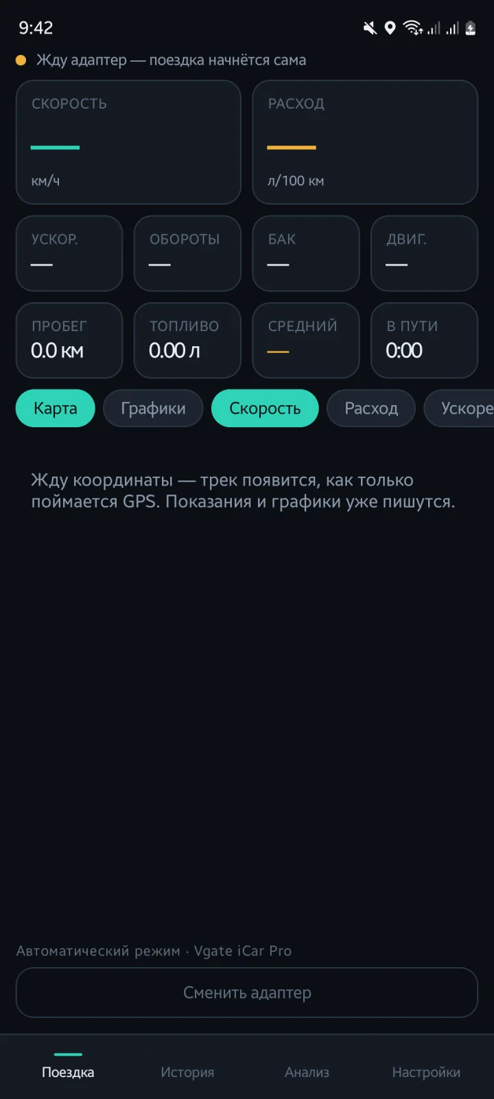
Speed, instant consumption (L/100 km on the move, L/h at a standstill), acceleration, RPM, litres in the tank, coolant temperature. Below: distance, fuel, average and time for the current trip. A status line shows the protocol and which PIDs actually answered.
Track coloured on the fly
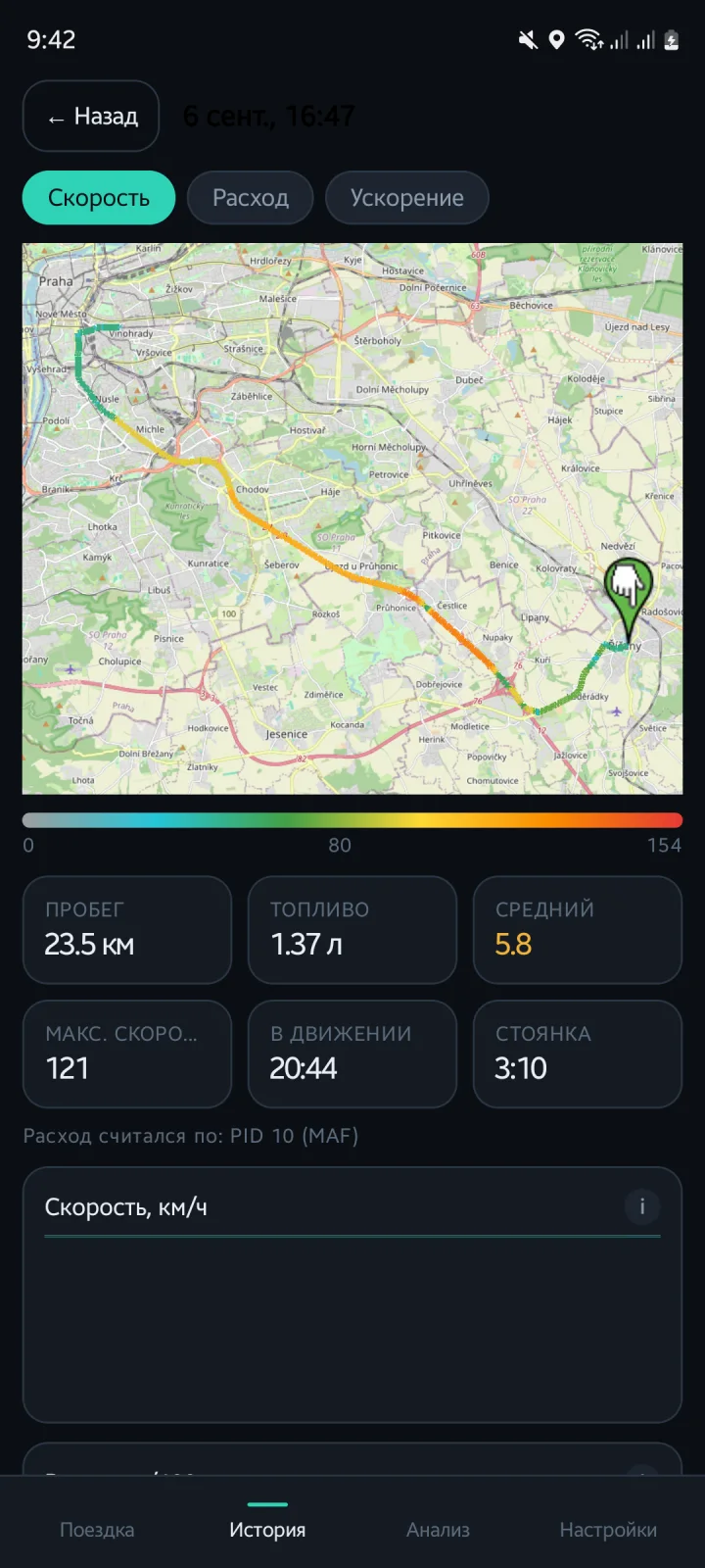
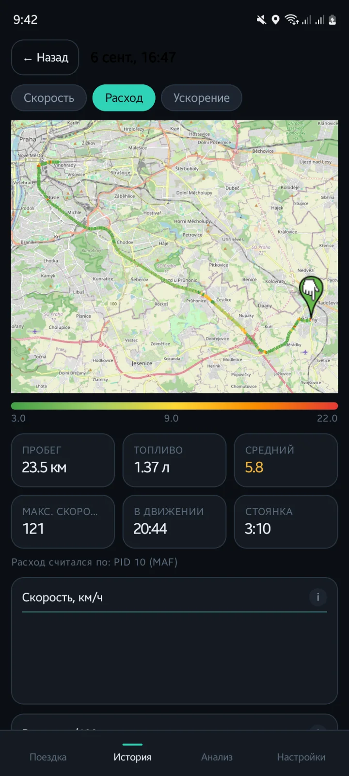
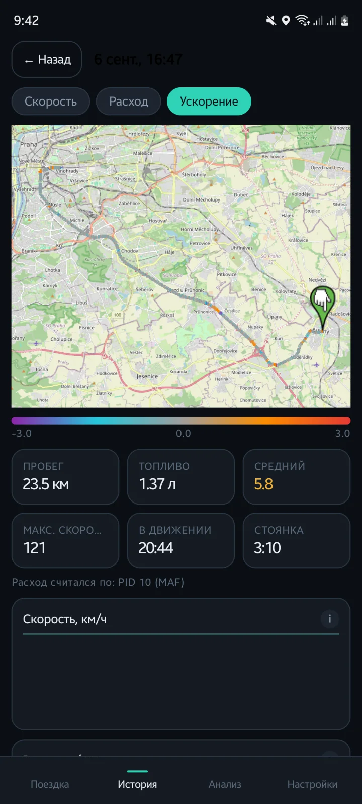
Speed, consumption or acceleration — switch while driving. Speed thresholds are yours to set. A car marker turns with the heading, computed over a 12-metre window so GPS noise doesn’t spin it at traffic lights.
Fuel from the bus, not a guess
Three sources in order of preference: the ECU’s own fuel rate (PID 5E), the mass air-flow sensor (MAF, stoichiometric 14.7 : 1) or a speed-density estimate when there is no MAF. The source is chosen by real requests — not by the support bitmap that clones lie about — and re-probed if it goes silent.
Honest acceleration
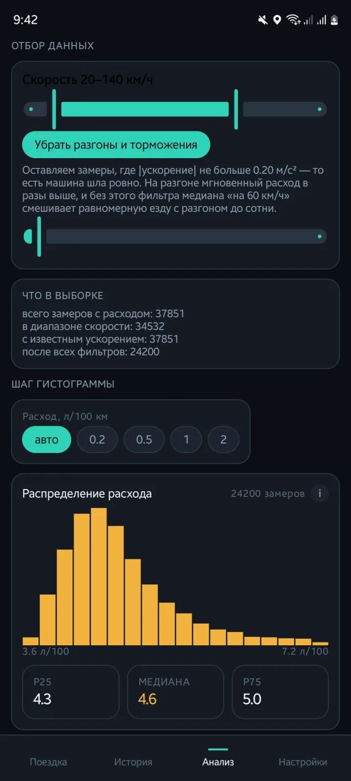
A least-squares slope of speed over a 1.5-second window. Speed arrives in whole km/h, so differencing neighbours would give ±1.1 m/s² of noise on a flat road — this doesn’t. It is shown live, written into every track point and used as a filter in the analysis.
History with route thumbnails
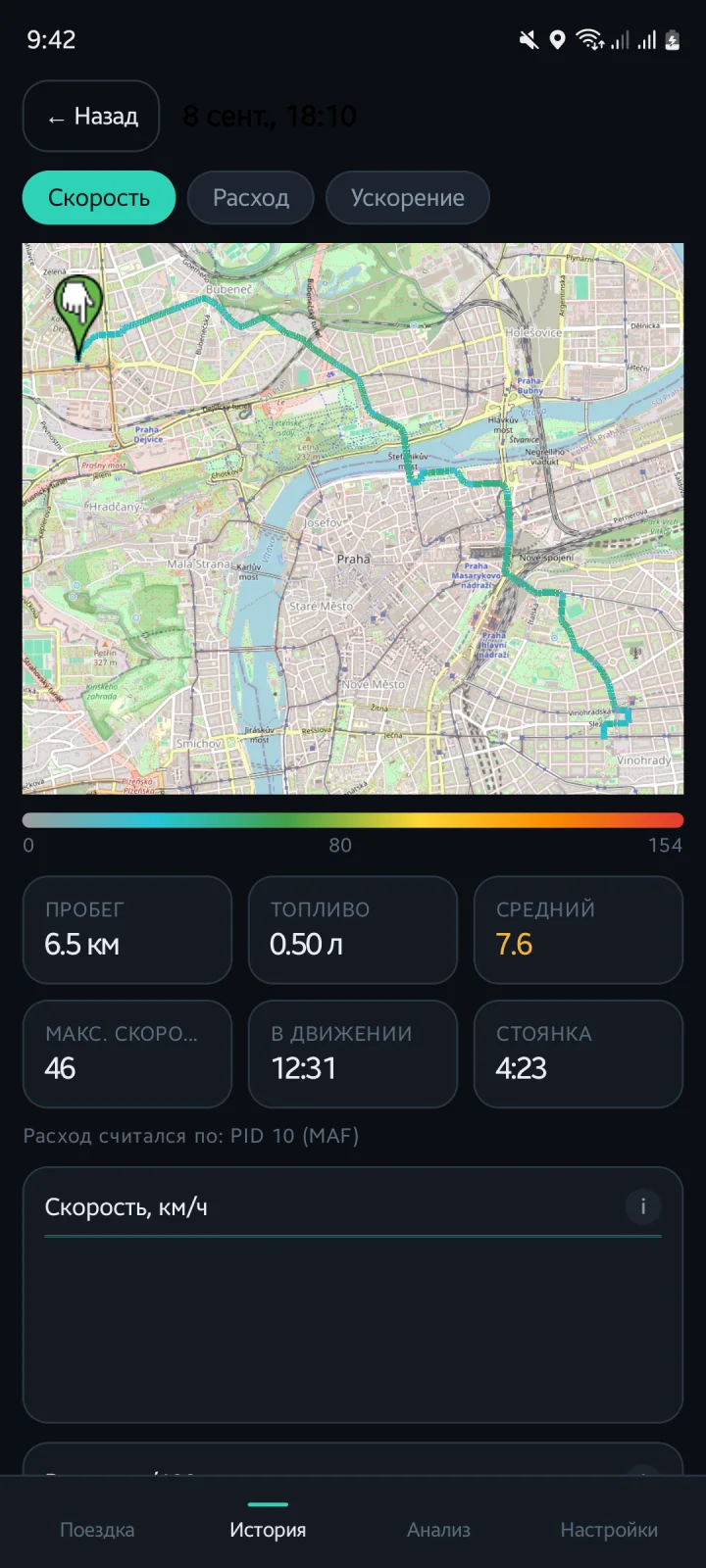
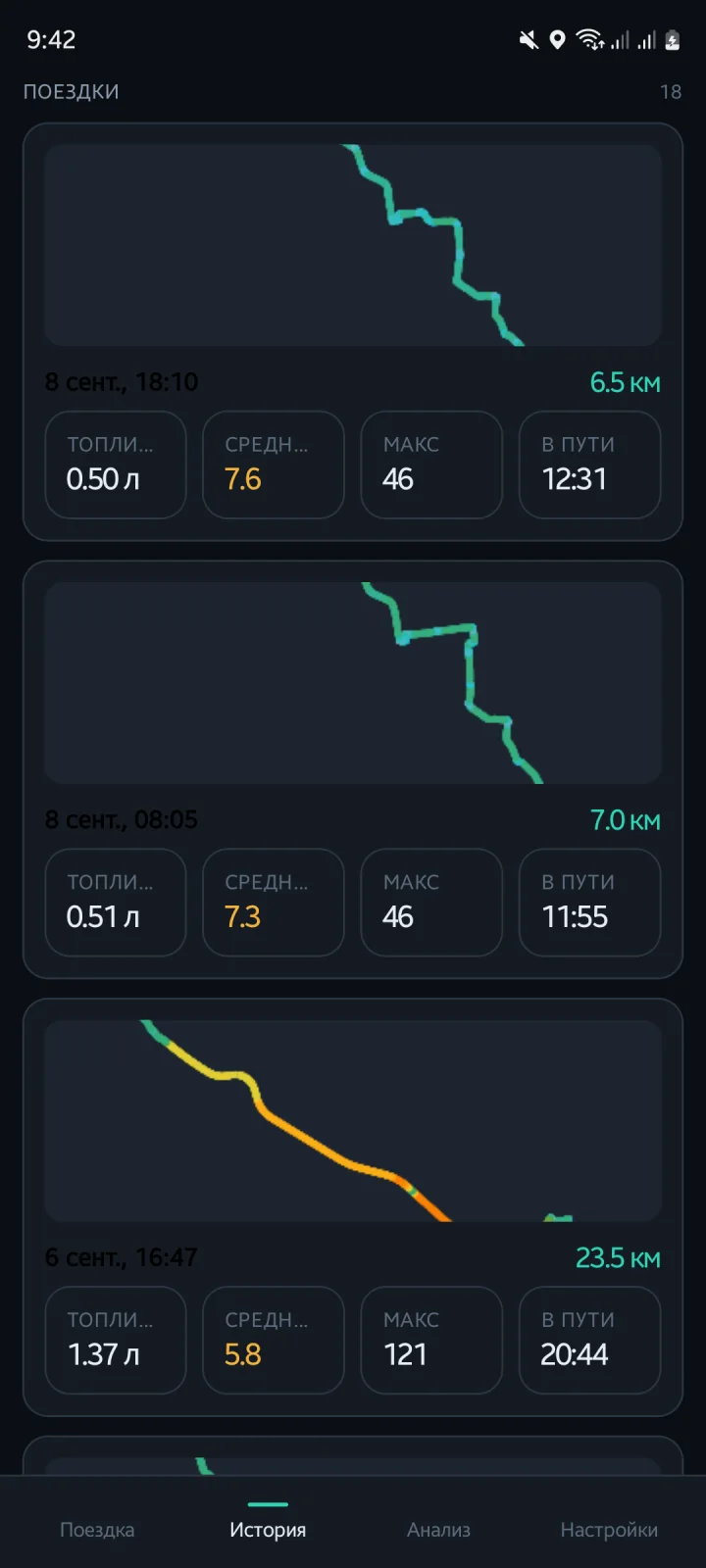
Every trip with distance, fuel, average, top speed and time, plus a thumbnail of the route drawn from the track itself — instantly and offline. Open a trip for the map in any colour mode, the totals and the speed / consumption / acceleration charts.
Analysis that survives the numbers
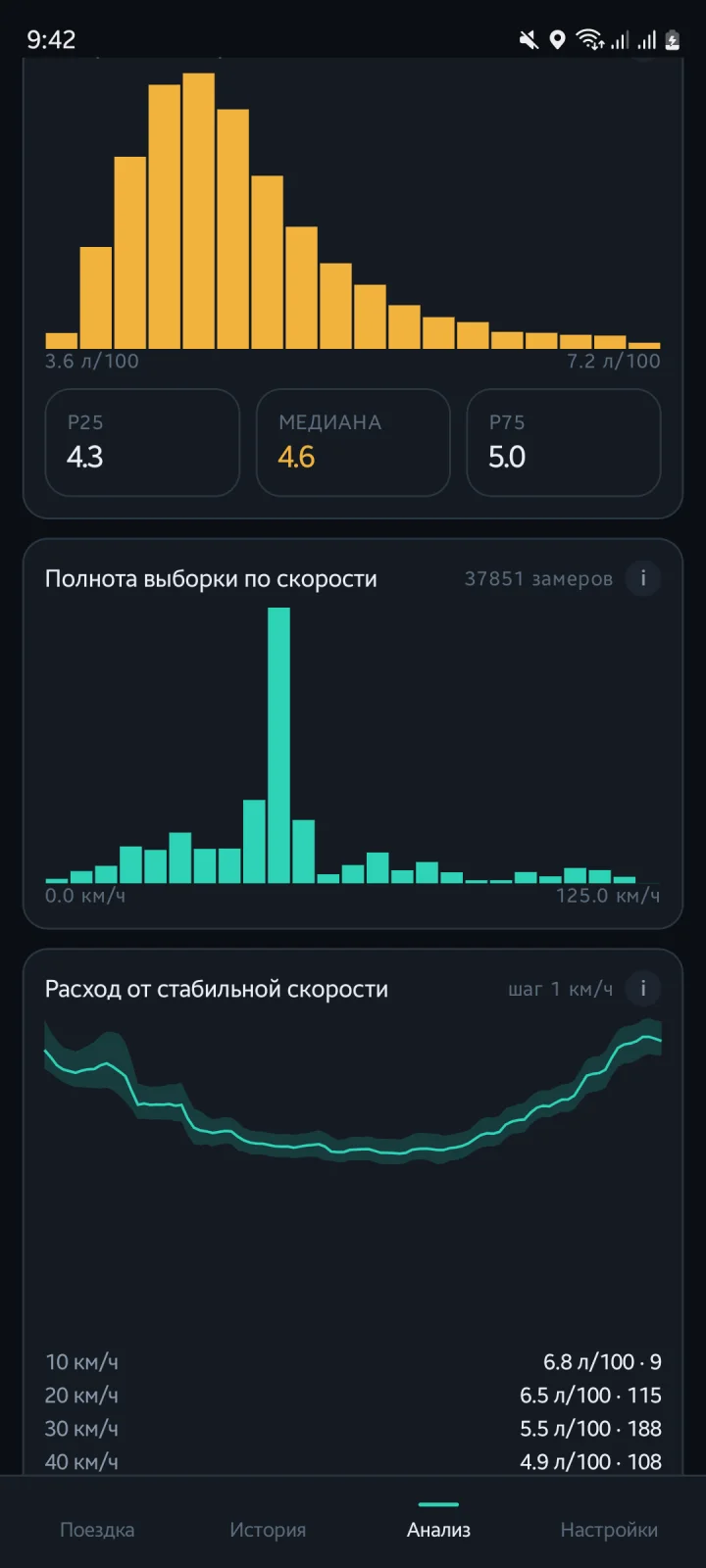
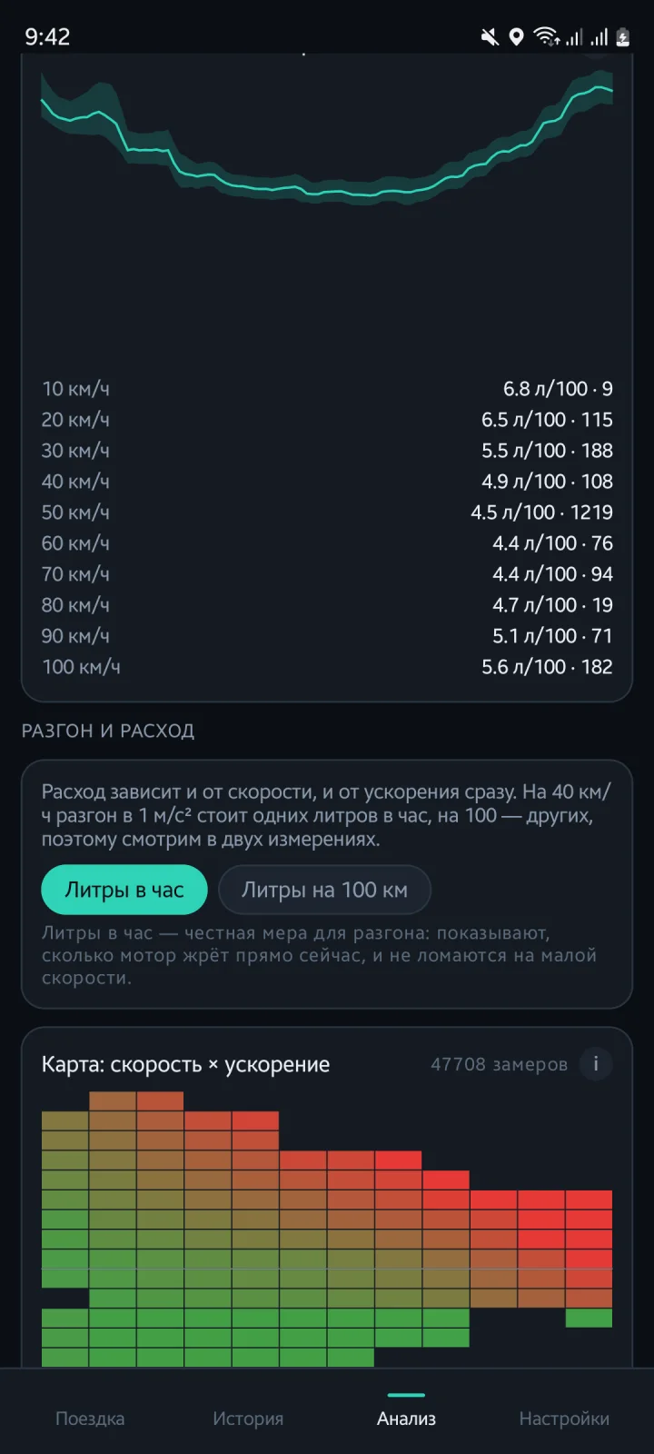
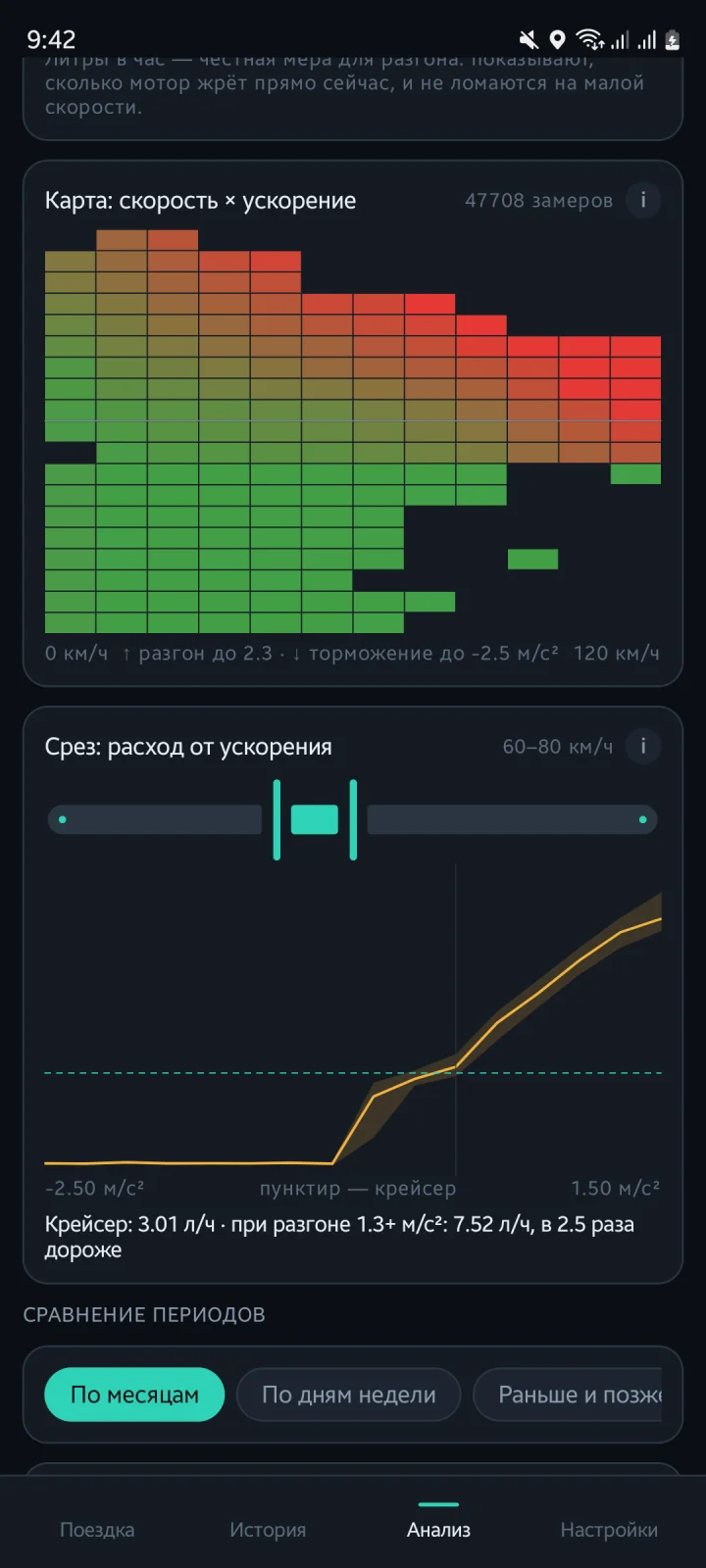
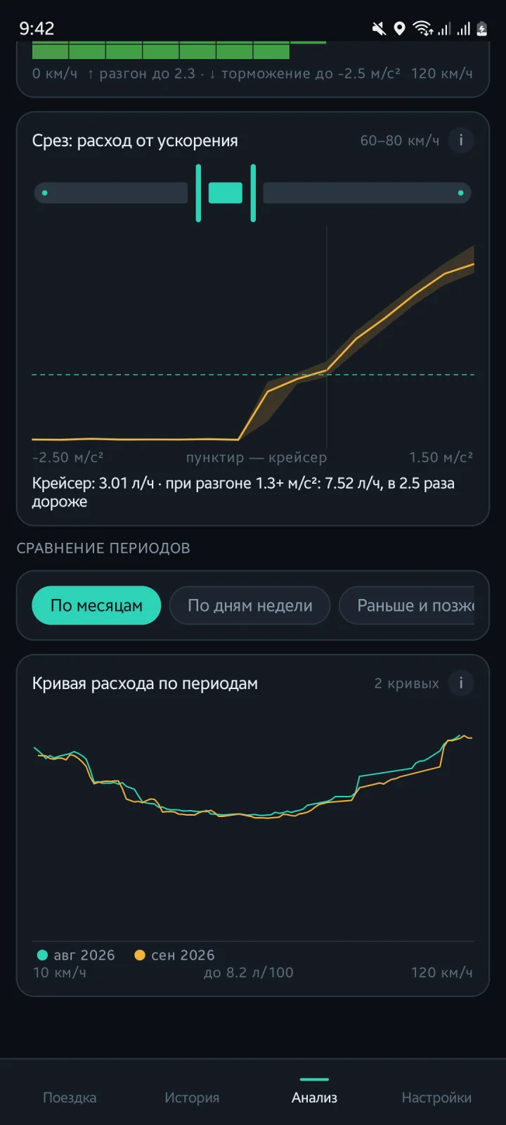
Consumption vs steady speed with a p25–p75 corridor, sample completeness per speed, a heatmap of speed × acceleration, a slice showing what accelerating costs against cruise, and period comparison by month, weekday or earlier vs later.
OpenStreetMap, offline after the first pass
No API keys, no Google Play Services. Every tile the map has shown is kept for a year, up to 600 MB, so the roads you actually drive stay available without a connection.
Built for ELM327 clones
Four known BLE profiles plus a fallback, a full init sequence, protocol enumeration when auto-detect fails, response re-synchronisation, re-initialisation after 45 s of silence, and a retry pause that grows from 5 s to 5 min instead of hammering the adapter.
History that never overflows
A storage limit you choose (500 MB by default). Past it, the oldest trips are archived: thinned to 4 000 points and gzipped about 12× — they stay in the list with all their totals and open a little slower.
Nothing leaves the phone
No account, no cloud, no analytics. The only network traffic is map tiles from OpenStreetMap. Trips live in a local database you can cap and clear.
When the bus is silent, you can see why
A log of everything said to the adapter and heard back, kept for seven days. The protocol that worked is remembered and tried first next time. Optional pairing for adapters that support it.